
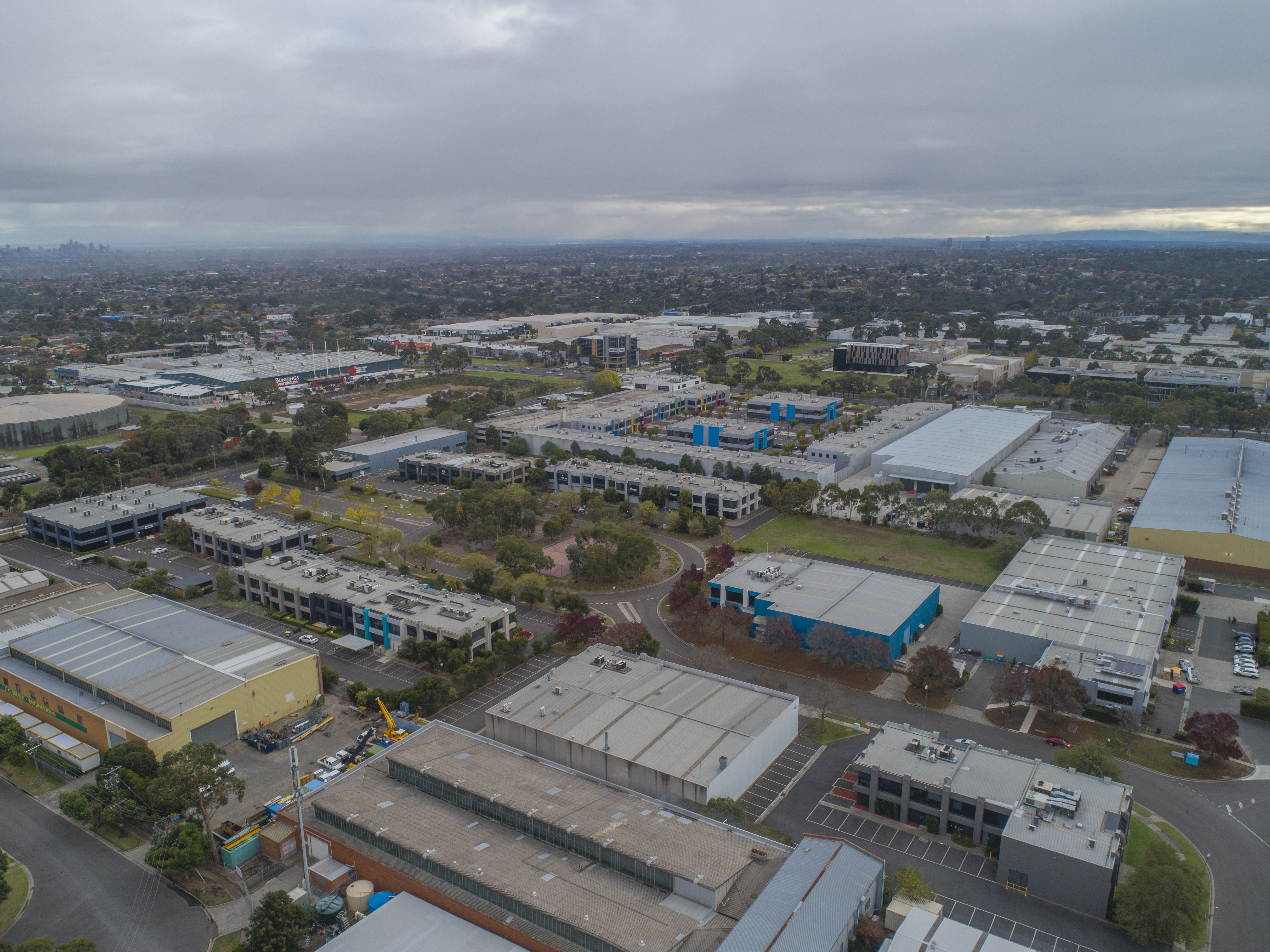
Drone surveying Melbourne is a method used to understand the land and survey it from various angles. The images captured, i.e. the data, will help create 3D projections, which in turn will improve the information received from these lands. It will give insights to real estate and construction team for the future. The drones are capable of flying at low as well as high altitudes, which makes it easier for them to capture the right data and help you understand the land better.
There are obvious benefits associated with drone surveying of a particular land.
-> The drone surveys can ably capture the topographic data required to translate it into projections and insights, five times faster. It is not just speed, but also accuracy. You even manage to get the data required for the construction plans at an affordable cost. The overall cost of surveying goes down, and you tend to save a lot of time as a result.
-> The data that you receive as a result of drone surveying is accurate, as we have already mentioned. But, that’s now all! You will see that the data is efficient and exhaustive. You get data that can build several insights, and can help with the thoroughness required for surveying. A single flight for drone mapping Melbourne comes out with numerous measurements and you will be able to define the projections accordingly
-> The drones are able to reach inaccessible and areas that are unreachable. As a result, you get data that you wont get with the other methods of surveying. As a result, you wont need to limit the data that comes to you or the insights that you get. In fact, if anything, with drones you will be able to capture maximum data, from angles that were invisible at one point
Now that you are aware of the benefits associated with drone surveying Melbourne, you should know just what you need to do before a drone survey is commenced.
-> With any drone related event, you need to match the plans with the regulations of the location. you need to read through all the rules and regulations mentioned for drone related activities, specifically mapping and surveying. Confirm it with your plans. If you feel you can execute all aspects of your plan without any issues with the regulations, then go ahead with the same
-> You will need to plan your flight before you go ahead with the execution. You need to enter the points you want your drones to access, and the angles for which you need accurate data. You can use the software tools available for this purpose. There are several tools readily available in the market, and you can use them to pin-point the drone measurements and angles
-> Once the plans are ready, it is time to execute drone mapping Melbourne. For this purpose, you will need to assemble the drone, mark the points and then calibrate for the different parameters. Once done, you will be able to launch the flight
-> It is time for the drone to collect the images.